The Imported Data tab on the Contents panel shows imported third-party map data in the widely-used ESRI Shape File Format, and allows you to explore it by data set, data layer, and subset:
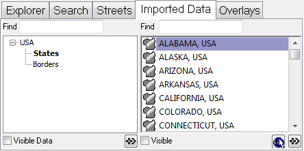
It works in a similar way to the Explorer.
See Also
The Imported Data tab on the Contents panel shows imported third-party map data in the widely-used ESRI Shape File Format, and allows you to explore it by data set, data layer, and subset:
It works in a similar way to the Explorer.
See Also