
Many map designs come with a small locator to indicate where the story happens.
To transfer the geographical information from one Map system to another container in GeoTransformation mode, we will use the GeoCameraLink
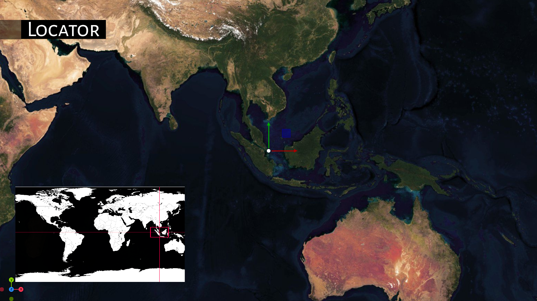
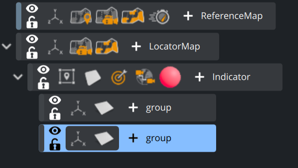
We need to build a scene with two map containers, both with GeoCanvas and GeoCamera on it. One as Reference, one for the Locator Map.
Resize the Locator Map
Add a sub container in GeoTransformation mode to the Locator map.
Create some graphics indicating this position. e.g. a circle or a Noggi as outline.
Now add the CameraLink plugin to it.
Drag the Reference map container as the new Source Container inside the CameraLink plugin.
Any change on the GeoCamera will now be applied correctly to the smaller locator container.
As a map can automatically act as a MaskSource, we can easily cut off the indicator to render outside the map by applying the MaskTarget to it. This prevents the two lines in our example to be “off”-map.
The plugin takes care of different projections. You’ll notice that when moving towards the poles.
This is because of the fact, that you cannot project a globe correctly on a flat surface.