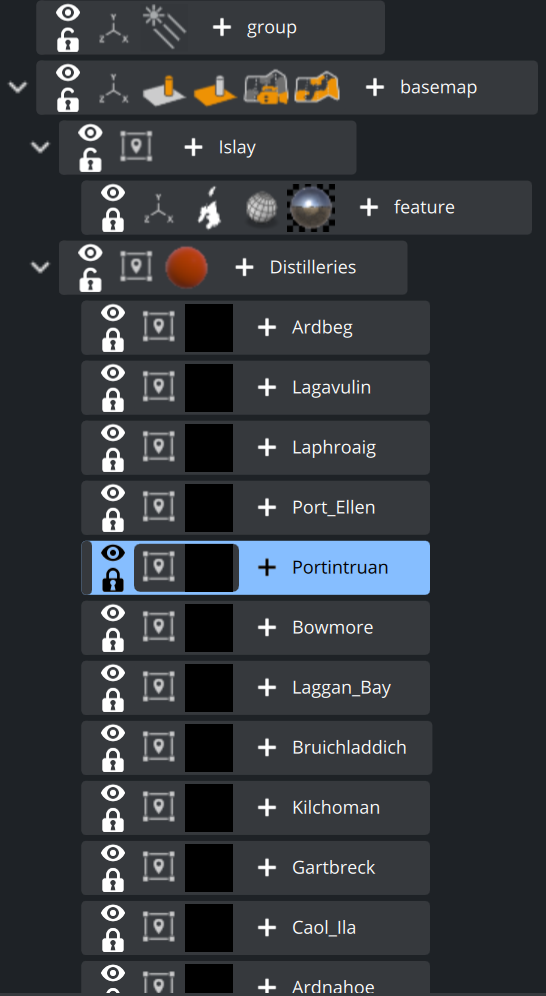
As GeoJSONs hold geographical information, we can also use those geo referencing inside our maps workflow:
Example
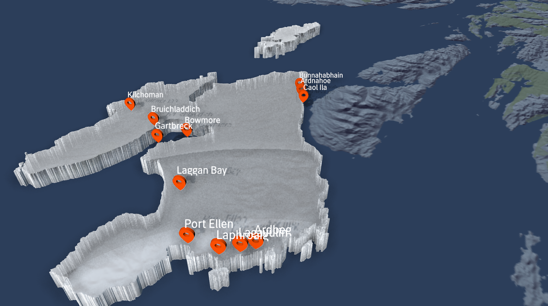
In our example we will use a GeoJSON of Scotland to visualize distilleries on the “Isle of Islay”. We could also use the data we get out of the Maps Server however as we need a hihger resolution of the shape data, we will use external sources.
Let's do this step by step:
Create a Basic Map Container by adding GeoCanvas or GeoCam to a base container.
Choose your style and use the GeoCam or the keyboard “M” to navigate to your desired location.
Download a static GeoJSON file and drag and drop it into Artist as a dynamic geometry.
Create a sub container and switch it to be GeoTransformation Mode.
Drag the imported GeoJSON to that container. Most likely the rendering will show its BoundingBox, but no geometry.
Click on the GeoTransformation and change the z Offset to be 1:
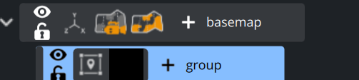
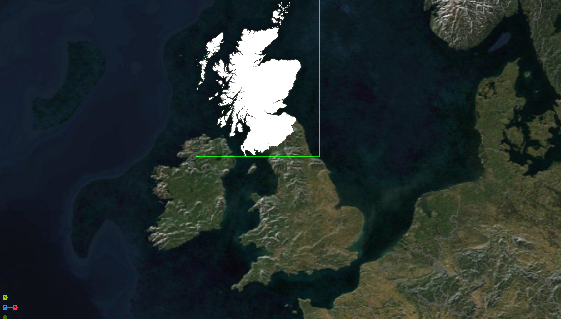
If we split the imported geometry, you’ll see the geometry holds a set of districts or counties:
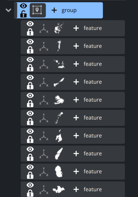
As we only need to render the Isle of Islay, we now use the GeoCamera plugin to get closer to this Island.
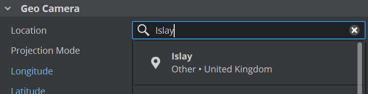
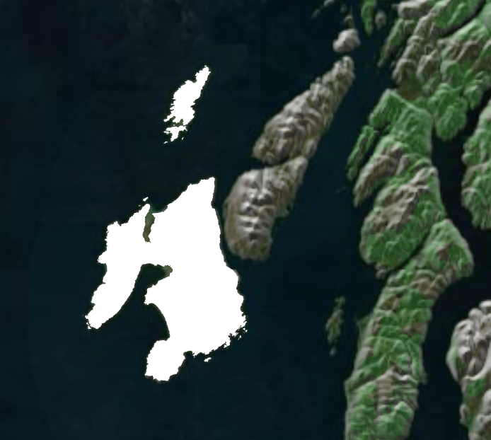
Click on the centered Island and the related GeoJSON will be highlighted in the Scene Tree.
We can now delete or hide the others as they will not be used.
Change the zoom so that we get closer, and also modify the Pitch inside the GeoCamera to have a more tilted view. We will now extrude the geometry and add some bevel to it:
If you click on the Geometry Icon, you’ll see it has been imported as a Dynamic Geometry, so we can now add a modifier to it. But first add a basic PBR or Phong material to it.
Next add an Extrusion Modifier to it.
The extrusion currently needs to go negative, so therefore we need to lift the whole GeoJSON group inside the BoxTransformation a bit higher.
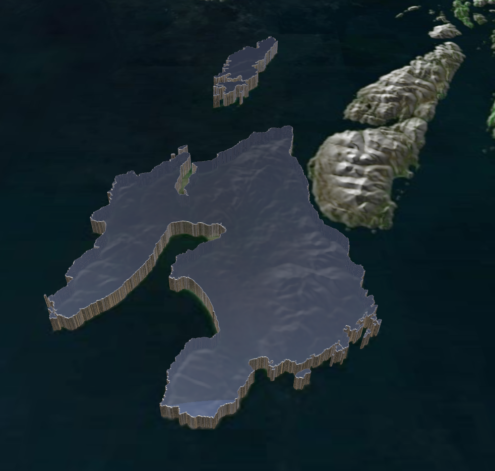
As we want to show the location of the most famous distilleries there, we will now import a GeoJSON with point data of these locations.
For this example, we asked Anthropic Claude to generate a GeoJSON with all distillery locations.
Import the file as in the previous step. Create a Subcontainer, set it to GeoTransformation and apply the imported file.
If you split the file, the locations will show up. As this is pure point data only, there will be no geometry created, but as we only need to know the locations, we can simply drop any geometry, like a pin or marker to it.
It might be required to adjust the scaling and the offset as we have already have an extrusion on our map.