Borders, regions, routes and points of interest, brought into a scene as real geometry — where the data comes from, how it draws, and how to hand the control of it to an operator.
What is a GeoJSON
GeoJSON is the standard, plain-text format for geographic shapes. Every open-data portal publishes it, most GIS tools export it, and a file is readable enough that you can open it and see what is inside. It carries three kinds of thing:
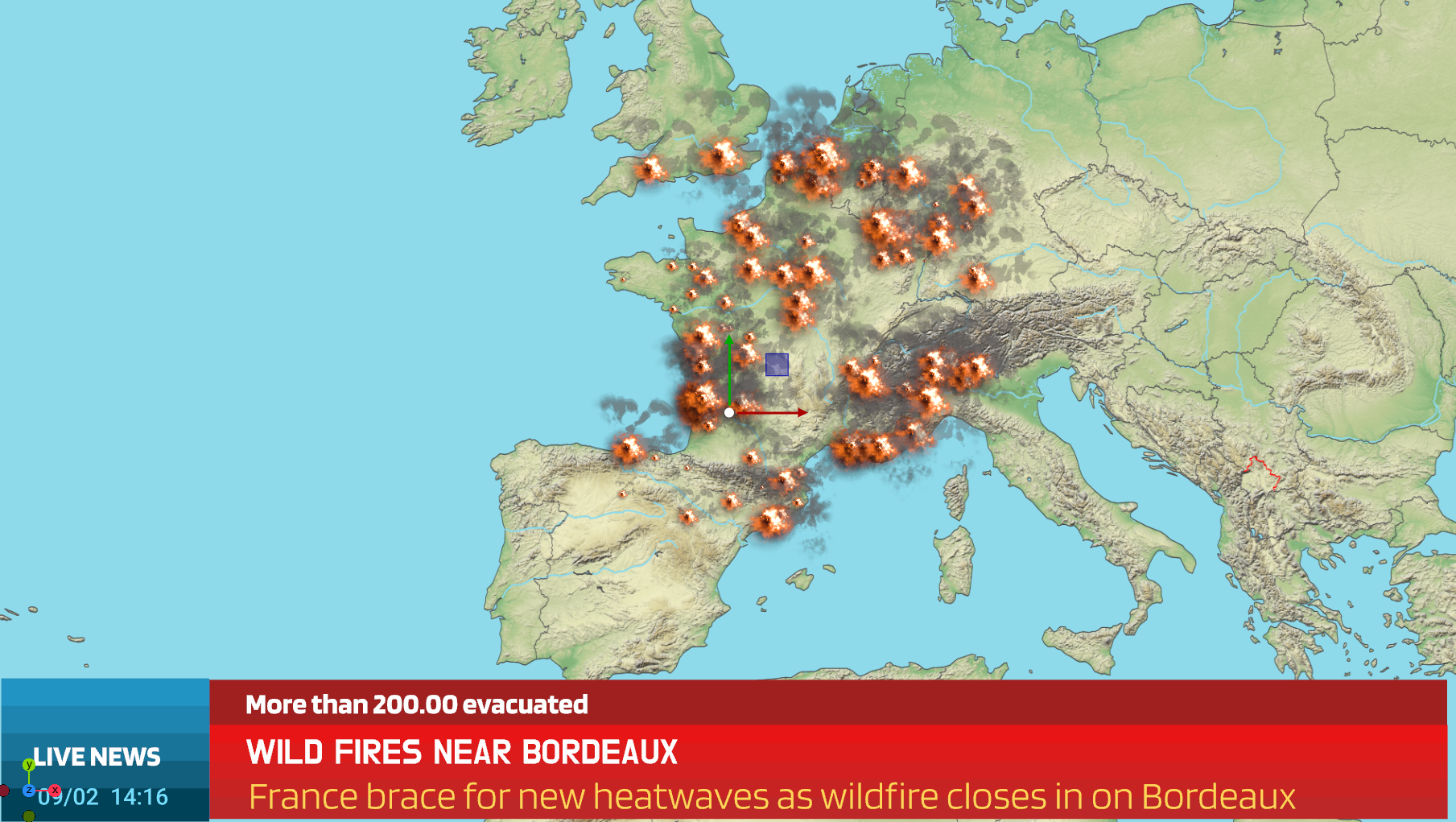
Points — a single position. Stations, incidents, venues.
Lines — a run of positions. Routes, streets, rivers, borders, a journey.
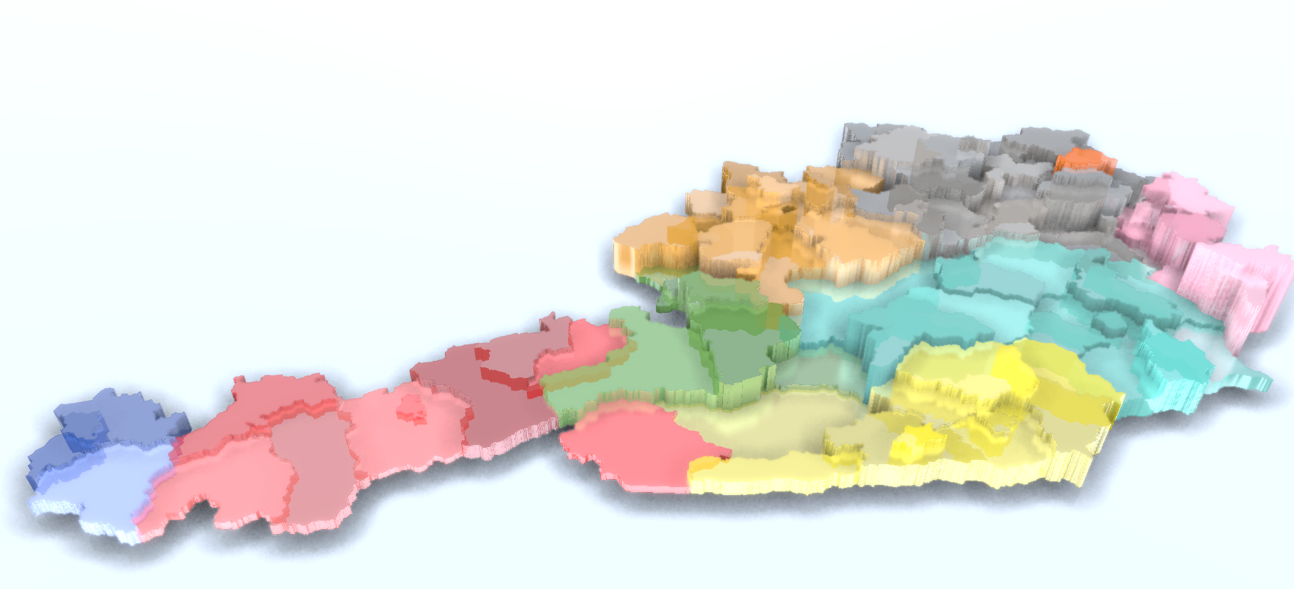
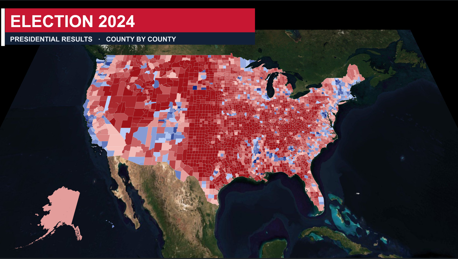
Polygons — a closed outline, optionally with holes. Countries, districts, zones.
Viz Engine turns those shapes into geometry in your scene. It is not an image laid over the map — it is geometry, so it sits in the world at the right coordinates, holds its place as you fly, and can be lit, colored, animated and composited like anything else you build.
The following chapters explain how to search and use GeoJSON, import and prepare your data, how to use it in combination with Viz Engine's Maps capabilities.