
The quickest and easiest way to add GeoJSON shapes to your design is to ask the Maps Backend for it.
However there are more possibilities how to add other sources. See Importing GeoJSON for details.
To start we will use the built-in search:

Add a Container with GeoCanvas and GeoCamera on it.
Create a sub container and add the GeoJson plugin on it. This will automatically change the transformation mode to geo transformation so we are able to work in latitude and longitude mode.
The GeoJSON is a plugin used by the Dynamic geometry rendering method. Clicking on the icon will show the Generator options and the Shape Provider input field.
Type in what you are searching for. This can be e.g. a country outline, a location and even more.
Lets search for “India”:
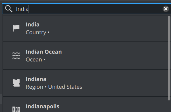
The search result now adds Countries, Oceans, Regions etc…
We will choose India as a country.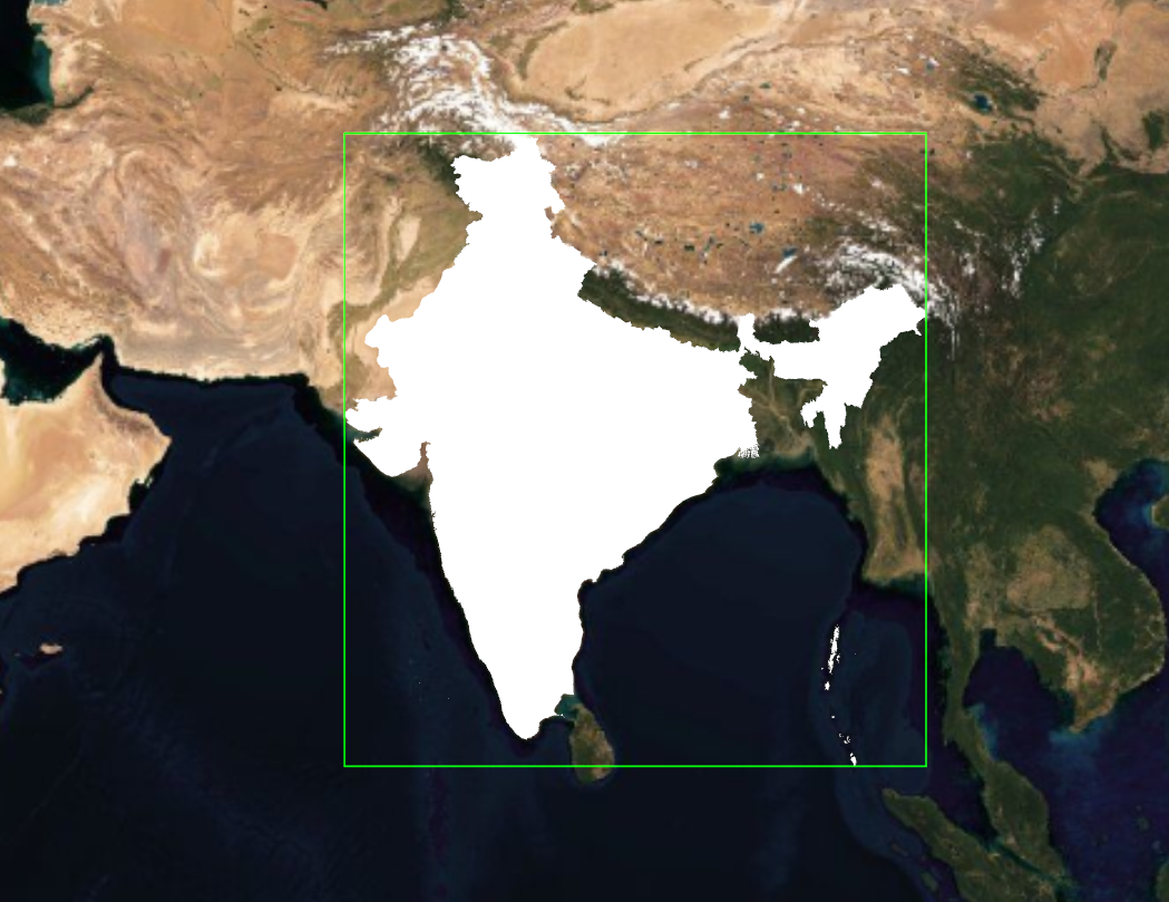
The shape data is being fetched from the Maps Backend and rendered directly on our map.
Now we can style the shape. See Rendering GeoJSON and Textures on GeoJSON.