
Viz World User Guide
Version 17.0 | Published March 11, 2019 ©
Geographically Referenced Maps
CWMClient plugin produces geographical maps (geo maps). Geo maps are images of maps that are geographically referenced (that is the image contains information about its longitude and latitude).
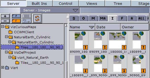
Geo maps are identified by a little globe icon next to the image icon. Containers that will be placed under the GeoMap container and using geographic data referencing will be placed relatively on the GeoMap.
Note: Do not modify the image properties.
Do not scale, rotate or change the position of the image in the image editor. Changing any of these parameters will result in loss of the image’s geographical reference.
All modifications should be done in the container properties editor.
The geo map can be placed on any Geometry Object; however, the geographical referencing will not be correct when placed on 3D objects other than Globe. It is recommended, for best geographical referencing results, to use GeoImage, Globe or terrain objects.